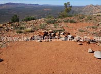
 Serpentine Chalet Dam Campsite (Trailhead) Serpentine Chalet Dam Campsite (Trailhead) |
|
 |
 |
|
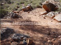
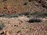
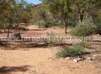
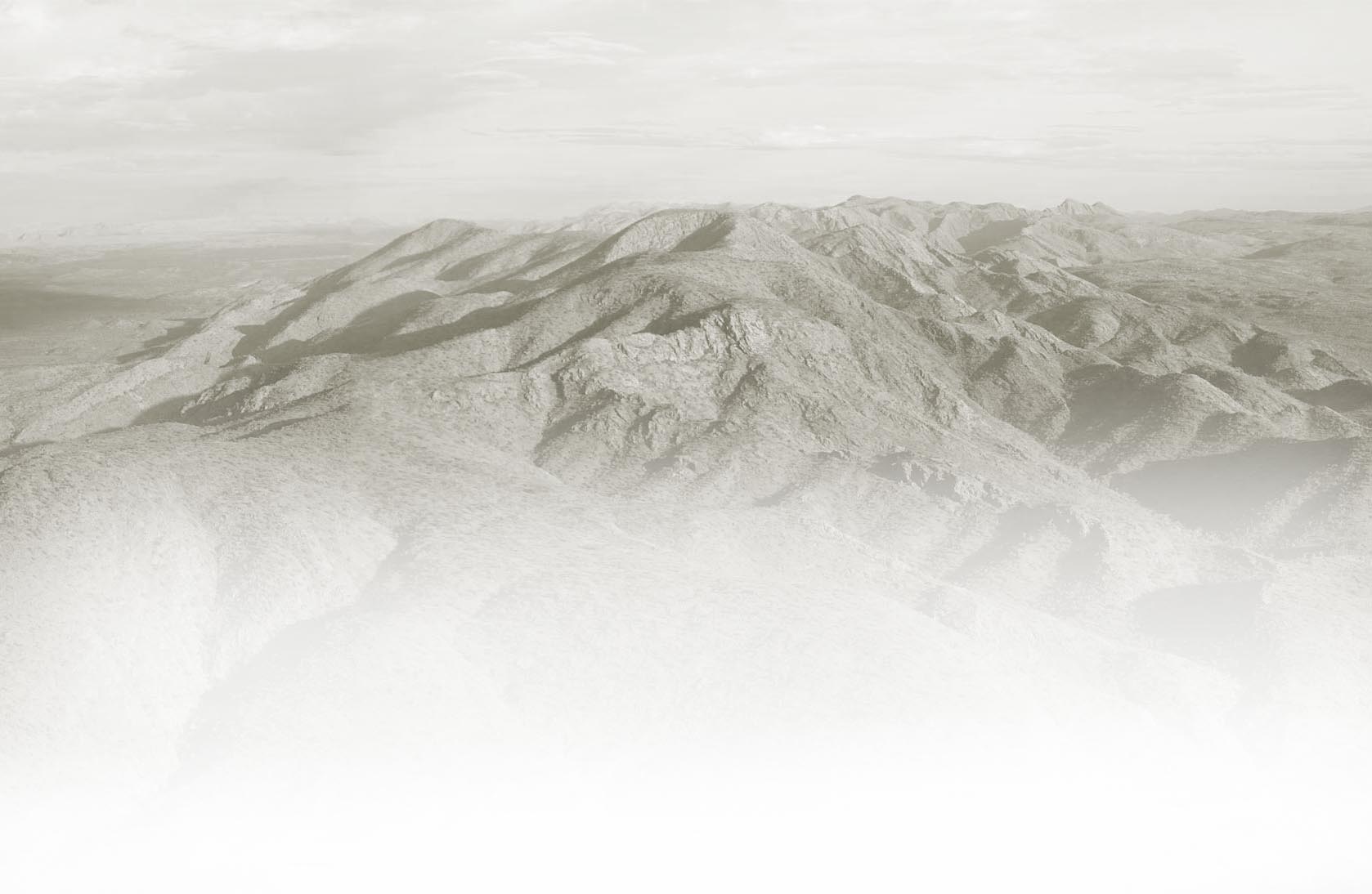
| View of campsite looking south |
|
 |
 |
|
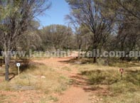
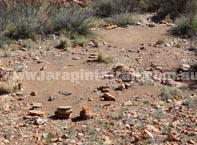
| Cleared tent pad areas amongst Mulga |
|
|
| Designation |
Designated (official) campsite |
| Campsite Facilities |
     |
| Water |
Yes- Tank |
Capacity  located at campground. Size used to determine capacity is an average 2 person sized tent. NOTE: These figures and descriptions are guides only and may gradually change. Accurate as at July 2013") |
5-6 tents |
| Camping Fees |
Apply |
| Campsite Access |
Trail Access Only. 4WD Road access nearby  |
| Maps & GPS Data |
Shown on Trail Maps  |
| Restrictions |
Strictly No Campfires or Open Fires |
|
 Snapshot Description Snapshot Description |
|
 |
Nice and well protected campsite. Good vegetation and shade. Cozy. |
|
Tent pads are comfortable and located in nice shady areas |
|
One of the most comfortable campsites along the trail. |
|
Serpentine Chalet Dam is close by. |
|
| Links & Additional Info |
|
| Section 9 | S9 Trailhead - Serpentine Chalet Dam |
|
 |
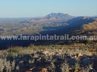
| Waterfall Gorge Campsite |
|
 |
 |
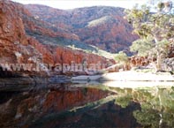
| Broad views of Waterfall Gorge area |
|
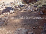
| Main campsite (southern end) |
|
 |
 |
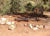
| Cleared tent pads (southern end) |
|
| Cleared tent pad (Northern end) |
|
|
| Designation |
Designated (official) campsite |
| Campsite Facilities |
Tent pads only |
| Water |
None |
| Capacity |
3-4 tents south side. 1-2 tents north side. |
| Camping Fees |
Apply |
| Campsite Access |
Trail Access Only |
| Maps & GPS Data |
Shown on Trail Maps |
| Restrictions |
Strictly No Campfires or Open Fires |
|
| Snapshot Description |
|
|
Nice half way campsite. Beautiful scenery surrounding the campsite |
|
Very little shade and vegetation. Open area. |
|
South side campsite is the main campsite. |
|
Single tent pads also located on northern side of gorge. Much cozier area. |
|
| Links & Additional Info |
|
| Section 9 |
|
|
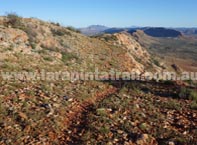
 Mt Giles Lookout Campsite Mt Giles Lookout Campsite |
|
 |
 |
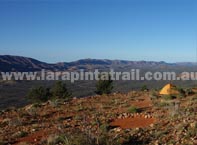
| Campsite area looking north east |
|
| Cleared tent pad, with views to the E |
|
 |
 |
| Western views close to the campsite |
|
| Looking W from the campsite |
|
|
| Designation |
Designated (official) campsite |
| Campsite Facilities |
Tent pads only |
| Water |
Apply |
| Capacity |
3 tents |
| Camping Fees |
None |
| Campsite Access |
Trail Access Only |
| Maps & GPS Data |
|
| Restrictions |
Strictly No Campfires or Open Fires |
|
| Snapshot Description |
|
|
Excellent views of Mount Giles and the surrounding ranges |
|
Superb sunrise and sunset views |
|
Very open area, no shade and can be windy at night |
|
Solid ground tent pads |
|
| Links & Additional Info |
|
| Section 9 |
|
|
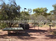
| Ormiston Gorge Campsite (Trailhead Area) |
|
 |
 |
| Campsite area with gas BBQ/furniture |
|
| Tent pads & general campsite area |
|
 |
 |
|
| Tent pads on western end of campsite |
|
|
| Designation |
Designated (official) campsite |
| Main Area Facilities |
         |
| Campsite Facilities |
|
| Water |
Yes- Taps |
| Capacity |
Open area - Large |
| Camping Fees |
Apply |
| Campsite Access |
2WD Road access |
| Maps & GPS Data |
Shown on Trail Maps |
| Restrictions |
Strictly No Campfires or Open Fires |
|
| Snapshot Description |
|
|
One the largest and most established campsites on the trail |
|
Main visitor area has a lot of facilities, including showers, kiosk, storage |
|
Great short side walks from this location ( i.e. Ormiston Pound Walk) |
|
Easy 2WD access. Trailhead is located about 300m from campsite |
|
| Links & Additional Info |
|
| Section 9 | Section 10 | S10 Trailhead Ormiston Gorge |
|
