 Overview Overview |
| Official Name |
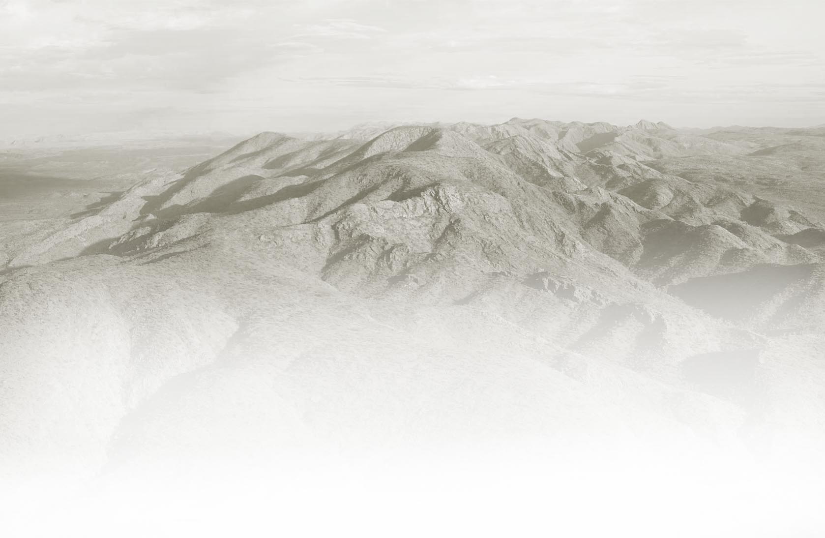
Larapinta Trail |
| Distance |
221km |
| Sections |
12 |
| Location |
Central Australia, Northern Territory Australia |
| National Park |
West MacDonnell National Park |
| Manager |
NT Parks and Wildlife ( NT Government Department) |
 |
| Geographic Info |
| Highest Point |
Mount Sonder: 1379m |
| Lowest Point |
Alice Springs Telegraph Station: |
| Ranges |
MacDonnell Ranges, Chewings Range, Heavitree Range |
| Peaks |
Mt Giles ( 1389m), Mount Sonder (1379m), Brinkley Bluff (1209m), Paisley Bluff (1191m) |
| Main River Systems |
Finke River, Hugh River, Todd River |
| Main Creek Systems |
Jay Creek, Ellery Creek, Ormiston Creek, Davenport Creek, Redbank Creek |
| |
The NO's  |
 |
 NO fires allowed on the trail. Stoves/Fuel Only NO fires allowed on the trail. Stoves/Fuel Only |
|
NO dogs or cats allowed on the Larapinta Trail |
|
NO mountain biking on the Larapinta Trail |
|
| |
| |
| Section Information |
|
|
| |
| |
| Section Snapshots |
Total Sections: 12 |
| Longest Section |
Section 9: Serpentine
Chalet Dam - Ormiston Gorge |
| Shortest Section |
Section 10: Ormiston Gorge - Finke River |
| Hardest Section |
Section 5: Birthday - Waterhole Hugh Gorge |
| Easiest Section |
Section 10: Ormiston Gorge - Finke River |
| |
| |
|
Total Trailheads: 12 |
|
| Key Points |
|
Transfer operators provide drops/pick ups along most trailheads |
|
5 trailheads can only be accessed by 4WD |
|
Standley Chasm (S4 Trailhead) has an entry fee |
|
Jay Creek (Section 3) & Finke River ( Section 11) have large shelters |
|
All trailheads have water tanks |
|
Alice Springs Telegraph Station does not have campsite facilities |
|
Walking trail and camping fees apply |
|
| |
| |
| |
|
Total Official Campsites: 34 |
|
You must book a campsite for each night you plan to be on the trail |
|
Strictly no fires at any campsites. On the spot fines apply for illegal fires |
|
Avoid clearing areas for campsites |
|
All trailhead campsites have water tanks |
|
Some trailheads have large shelters |
|
| |
| |
| Fees & Permits |
|
|
Walking trail and campsite fees apply |
|
Food Storage Keys $50 refundable + $10 non refundable.
Organise key at Tourist Info Centre |
|
| |
| |
|
|
Regular flights to Alice Springs from most capital cities |
|
Alice Springs can be accessed by road, air or rail |
|
Trail transfers are available from Alice Springs |
|
Qantas and Virgin are the only airlines that fly to Alice Springs |
|
Alice Springs is more than 500km away from Uluru |
|
There is a wide range of accommodation options |
|
| |
| |
|
|
By commercial operators only - See list |
|
NT Parks & Wildlife does not provide this service. |
|
| |
|
|
Alice Springs has a number of supermarket & stores for food purchases |
|
There are very few places to buy food along the trail ( see below) |
|
Food drop services are offered by some local businesses's |
|
There are three official food storage areas along the Larapinta Trail |
|
You will need a key for these official storage sheds ( see below) |
|
If you cache your food, protect the cache well from dingoes |
|
You will need to carry most of your rubbish |
|
There are only 4 rubbish points along the trail. (See below) |
|
Please DO NOT burn or bury rubbish! |
|
| |
|
|
There are water tanks at each trailhead and at intermediate points |
|
NTPWS (Park Rangers) maintain trailhead water tanks |
|
DO NOT use trailhead water for washing clothes!! |
|
Treat any water you source along the trail including tank water |
|
There are natural water sources but they are very unreliable |
|
Carry a minimum of 6litres of water per day |
|
Rehydrate your body each night/morning at the trailheads |
|
| |
| Rubbish Points |
|
|
| |
| Showers |
|
|
| |
| Kiosks |
|
|
| |

