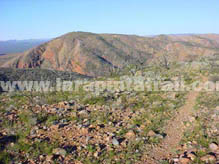
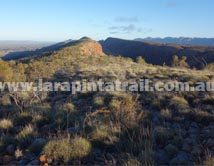
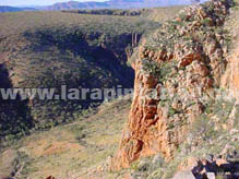
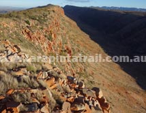
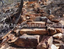
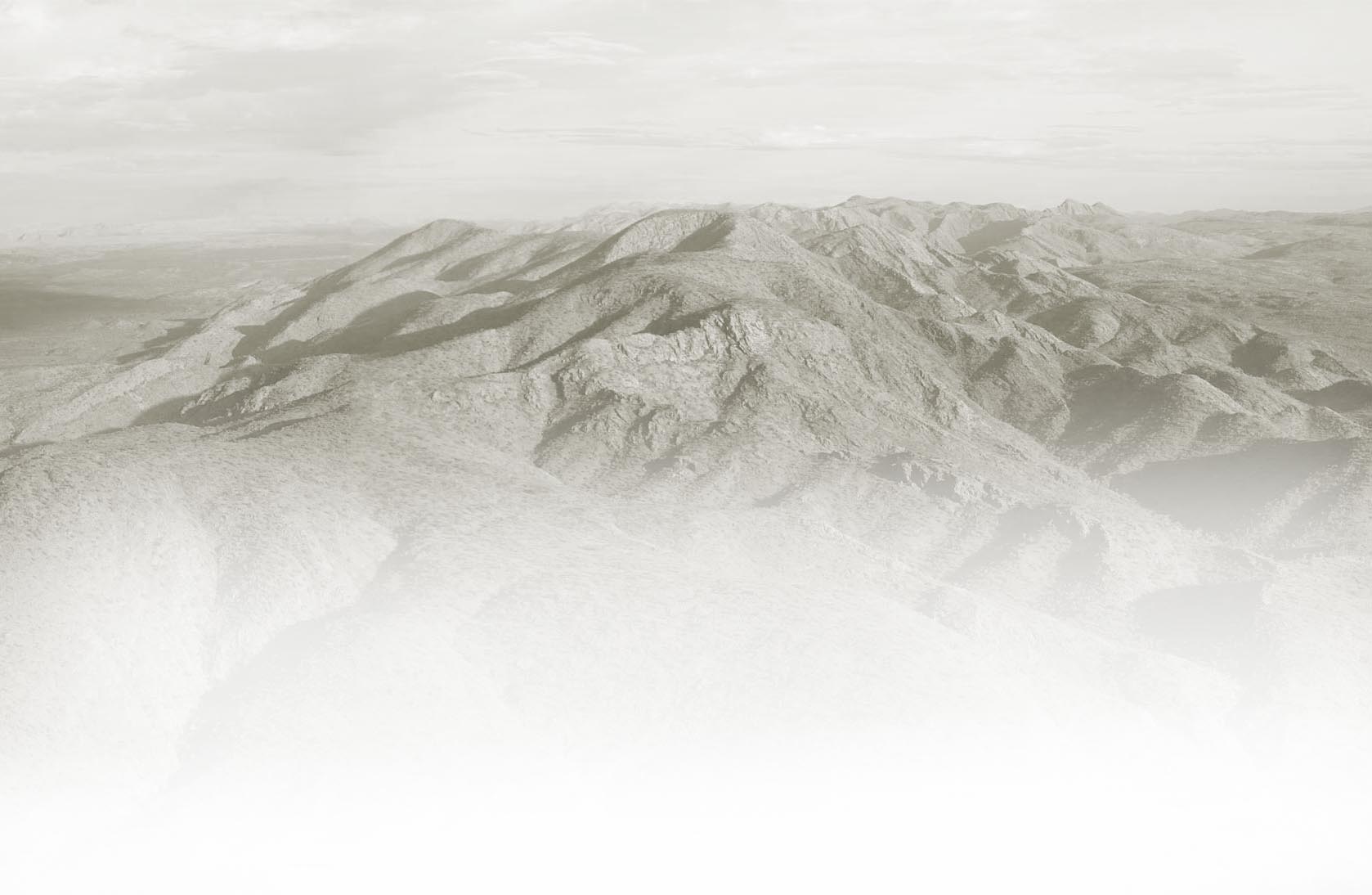
Section 8 is great scenic walk with nice viewpoints along the high ground of the trail. Some parts of the section will require steep ascents and descents, but most of these are supported with well constructed rock steps and trail clearing. The views from Counts Point are magnificent. Easy vehicle access to Serpentine Gorge trailhead. |
|
Snapshot |
|
 |
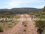
Steep ascents and descents |
 |
Easy access to Serpentine Gorge trailhead and car park |
 |
High ground is rocky going, but has excellent views |
 |
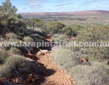
Rocky ground on high ground. Trail not obvious at times |
|
Highlights |
|
 |
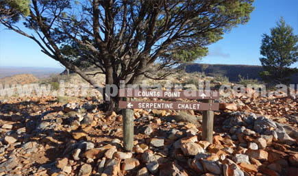
Counts Point and surrounding views - Excellent |
 |
Excellent step construction with slab rock ( on descents) |
 |
Serpentine Gorge |
 |
Great expansive views along the high ground |
|
Related Links |
|
|
|
 |
|
|
Trail Grade |
 |
Hard:Suitable for experienced walker |
Distance (km) |
13.4 |
|
Duration (hrs) |
5.5 |
Comfortable. Allow sightseeing |
Terrain |
Rough |
Rocky, loose |
Gradient |
Hilly |
Steep going. Rough track |
Trail |
Average |
Poor on high ground. Good below. |
Water |
Yes |
Limited. In tanks only. |
Shade |
Poor |
Very Limited. |
Camping Fees |
No |
None |
Campsites |
Yes |
S8 Campsites page  |
Walk Options |
Yes |
Day - Overnight - Extended  |
|
 |
|
 |
Serpentine Gorge |
           |
Serpentine Chalet Dam |
      |
|
 |
|
 |
|
|
 |
 |
 |
Section 8 - Larapinta Trail Map |
 |
Full Colour, Topographic Map, 50K scale |
 |
Durable. Weatherproof/Tear Proof paper |
 |
Highly detailed trail data, images, notes |
 |
Info on terrain, vegetation, profiles, landforms |
 |
Map Dimension: A3 / Double Sided / Folded |
 |
Developed by Larapinta Trail Trek Support  |
|
|
 |
|
 |
 |
S8 Webpage Coming Soon |
 |
NT Parks Section Fact Sheet and Trail Map  |
 |
NT Parks Section Fact Sheet and Trail Map  |
|
 |
|
 |
Getting to Serpentine Gorge Trailhead  |
 |
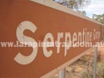
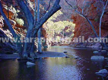
The Serpentine Gorge Trailhead is approx 100km west of Alice Springs and can be accessed via the sealed Larapinta & Namatjira Drives. Access from the Namatjira Road to the car park is via a 5km rocky dirt track. The trailhead information board is located at the car park. The trail shelter and campsite is located approx 600m north east of the car park. |
Getting to Serpentine Chalet Dam Trailhead  |
 |
The Serpentine Chalet Dam Trailhead is approx 105km west of Alice Springs and can be accessed via the sealed Larapinta & Namatjira Drives. From Namatjira Road to the car park is a 3km 4WD only dirt track. Vehicles cannot access the trailhead directly. There is a locked gate. It is 750m from the car park to the trailhead.. |
|
 |
|
Connected Walks & Trails |
Serpentine Gorge Lookout Walk |
|
Arrernte Walk |
|
Ochre Pits |
|
 |
Off Track |
None |
|
|
|
 |
|
 |
 |
|
Eastern end of the high ground |
|
 |
 |
High ground part of the trail. Looking west. |
Steep cliff faces on northern face, |
 |
 |
Looking toward Counts Point in the distance |
|
Solid rock steps on western end descent |
|
 |
 |
|
|
|
|
|
|